Guide
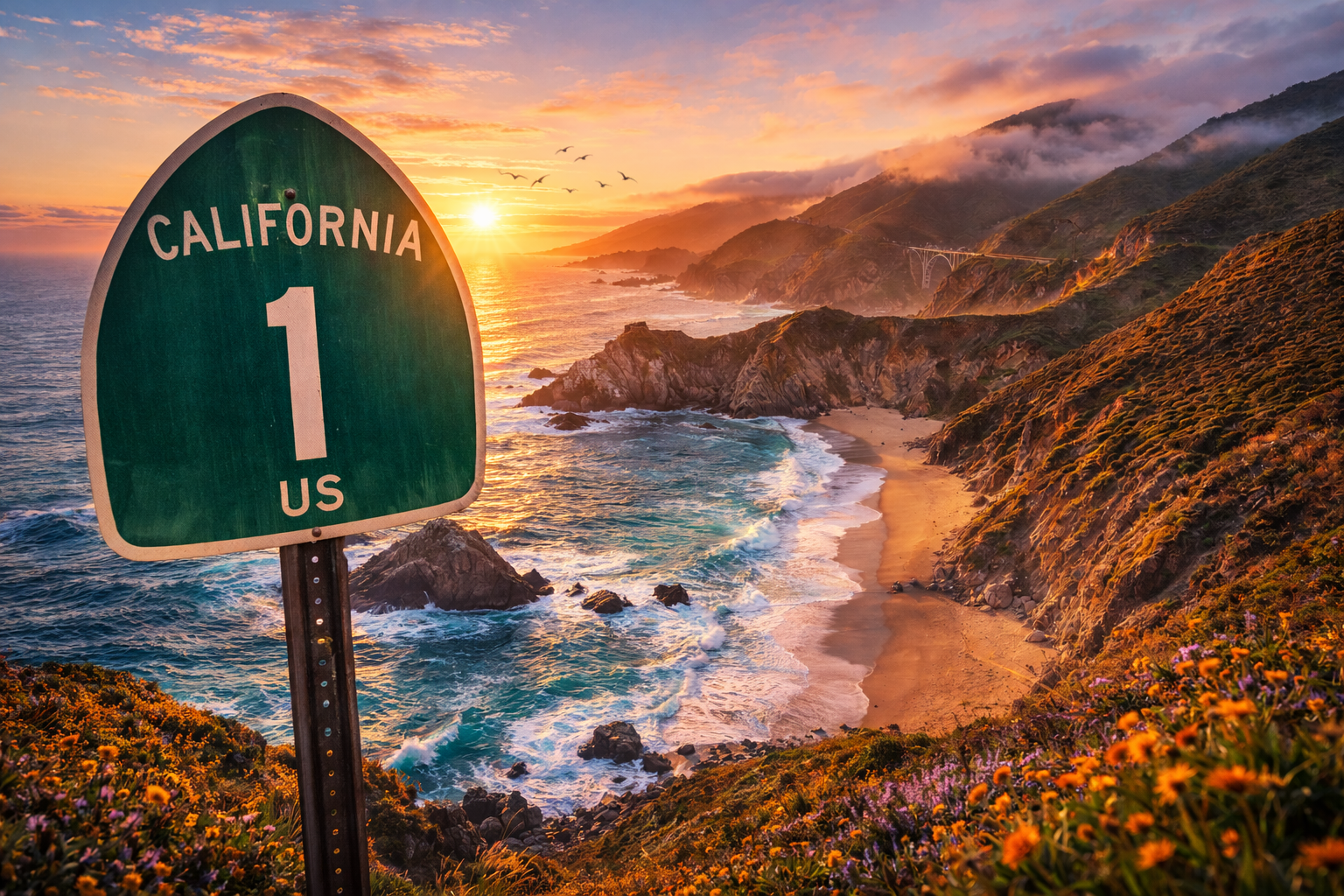
Pacific Coast Highway — Best Scenic Stops
The most scenic viewpoints and must-stop locations along California’s Highway 1.
Quick Facts
Quick facts
- Best time
- May–June, September–October
- Recommended duration
- 1 day (driving focus)
- Budget range
- Low: 40-90 USD/day · Mid: 120-220 USD/day · Comfort: 350+ USD/day
- With kids
- Yes
Worth It / Skip If
Worth it
One of the most scenic coastal drives in the world.
Skip if
You prefer faster inland highways.
With kids
Choose short coastal viewpoints over long hikes.
Mini Itinerary
Mini itinerary
- Day 1Morning: Monterey → Garrapata State Park → Bixby Bridge.
- Day 2Midday: McWay Falls → Julia Pfeiffer Burns.
- Day 3Afternoon: Pfeiffer Beach → Coastal sunset stop.
Budget
Budget Box
Low
40-90 USD/day
Mid
120-220 USD/day
Comfort
350+ USD/day
Save
Save to WanderSpend
Use the app deeplink or continue in browser fallback.
Activities
Partner
GetYourGuide activities
Map
Guide Details
Why This Guide Exists
Highway 1 is not about distance.
It’s about timing your stops correctly.
This guide helps you:
- Avoid backtracking
- Prioritize the most dramatic viewpoints
- Structure your drive efficiently
Top Scenic Stops
Garrapata State Park
Wild coastline and walking trails with cliff views.
Bixby Creek Bridge
The iconic California postcard shot.
McWay Falls
A waterfall directly into the Pacific.
Pfeiffer Beach
Purple sand and rock formations.
Julia Pfeiffer Burns State Park
Short trails with cinematic ocean viewpoints.
Driving Strategy
- Fill up gas before leaving Monterey.
- Check for landslides or temporary closures.
- Start early to avoid traffic and parking stress.
Where This Fits in Your Road Trip
Ideal segment: San Francisco → Monterey → Big Sur → San Luis Obispo
This guide connects the coastal dots.
Sources & Updated
Last updated: 2026-02-19
Sources
- California Department of Transportation: Road conditions and closures
- California State Parks: Access and parking rules
Nearby / next stop
ROUTE · TTD
Updated 2026-02-19
Highway 1 & Big Sur — Scenic Drive Plan
The most scenic stretch of the California coast — cliffs, bridges, and Pacific drama.
Read guide →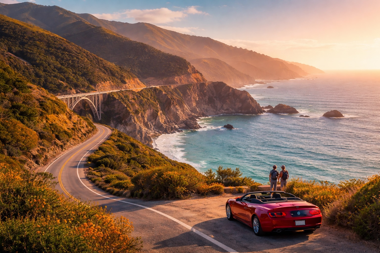
ITIN
Updated 2026-02-19
San Francisco — 2-Day Start Plan
A structured two-day city start before heading south on Highway 1.
Read guide →