Guide
Highway 1 & Big Sur Guide
A practical Big Sur driving guide for Bixby Bridge, Pfeiffer Beach, McWay Falls and current Highway 1 route decisions.
Save it for later on this device or print a clean planning copy.
Quick facts
- Best time
- April-June, September-October
- Recommended duration
- 1-2 days
- Budget range
- Low: 120-210 USD/day · Mid: 240-420 USD/day · Comfort: 520+ USD/day
- With kids
- Yes
Orientation
Why Big Sur needs restraint
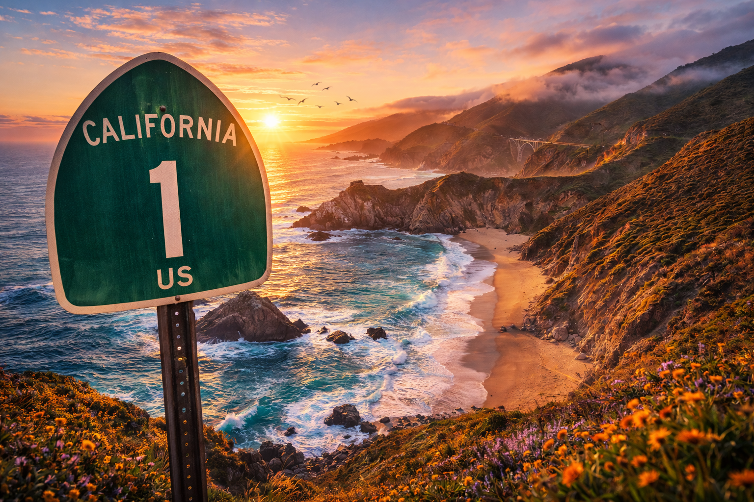
Big Sur is not a checklist road. It is a narrow, weather-exposed coastal section where the value is the rhythm: cliffs, pullouts, ocean light and a few strong stops.
The route is also fragile. Landslides and repairs can change what is possible, so the best plan starts with a current Highway 1 check before hotels and drive times become fixed.
If the road is open, choose fewer stops and let the coast breathe. If it is not, use the Central Coast guide to build a partial coast route without forcing a broken through-drive.
I would rather do four good Big Sur stops slowly than eight famous names badly. The drive itself is the highlight, and the best day has room for a pullout you did not plan.
Alex Travels · TravelHighlights.io
Keep planning
Choose the next useful step
Jump straight to the next relevant part of your trip.
Guide map
- Bixby Creek Bridge
- Pfeiffer Beach
- McWay Falls / Julia Pfeiffer Burns area
- San Simeon
Highlights
Top highlights
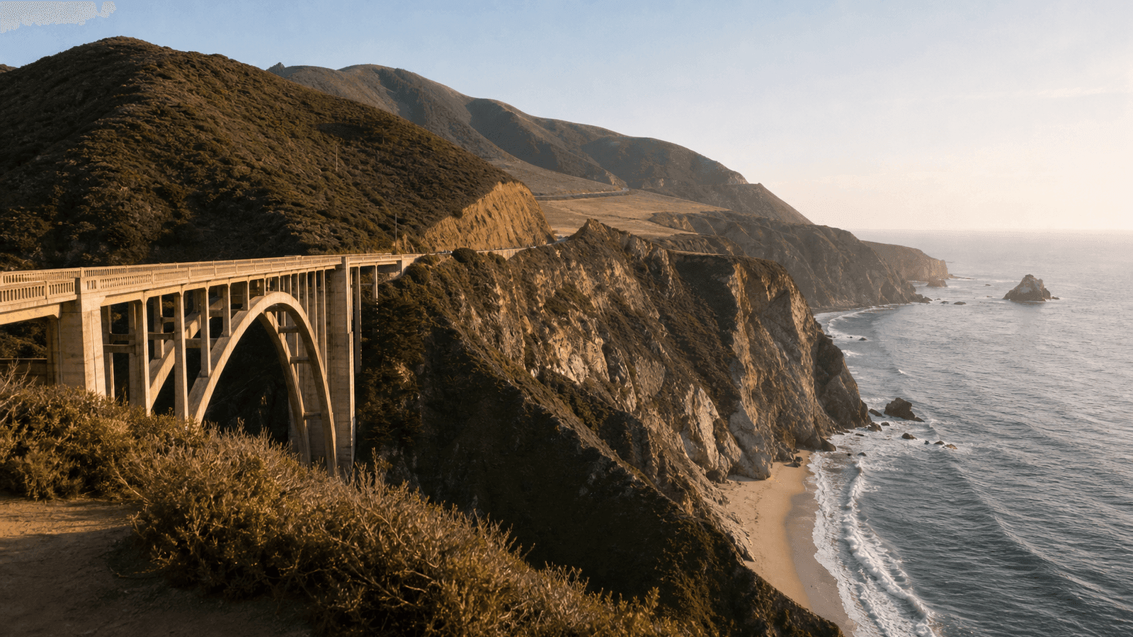
Bixby Creek Bridge
The classic Big Sur opening viewpoint, best as a short stop rather than a long parking mission.
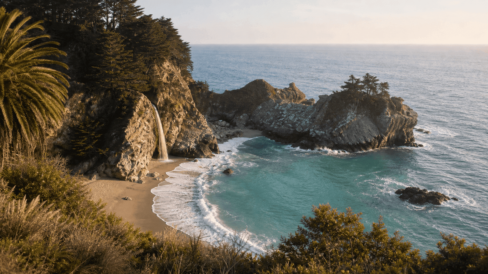
McWay Falls
The park and overlook trail are closed as of September 7, 2026; not a regular visitor stop.
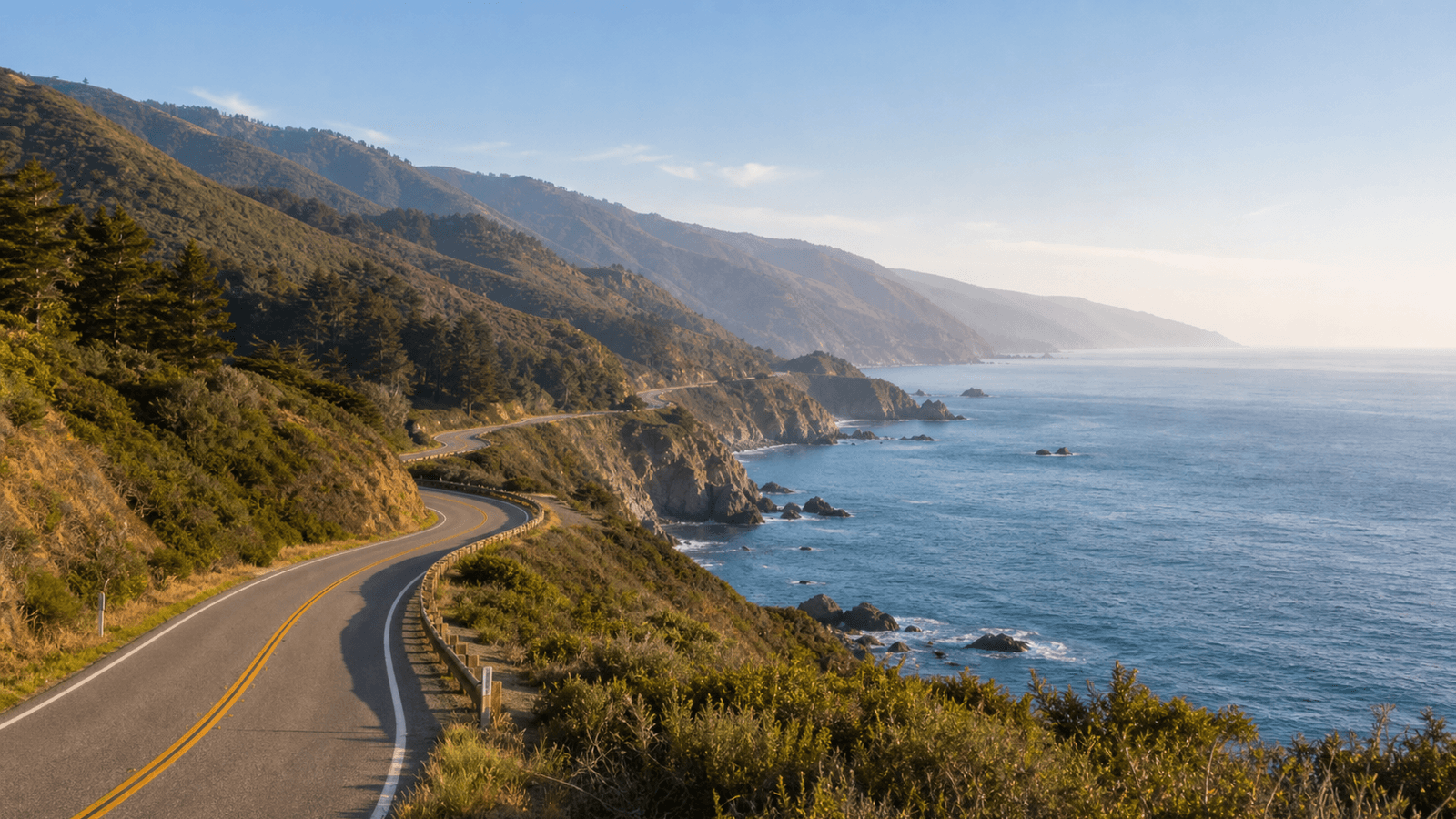
Carmel to San Simeon Drive
The full coastal logic: a scenic through-drive only when Highway 1 is open for your travel window.
Itinerary
Suggested itinerary
Open-road Big Sur day
Future route idea after reopening; do not use during the current fire closures.
- 1After confirmed reopening: Monterey/Carmel → brief Bixby stop → one open beach or park visit → overnight Cambria/San Simeon. Allow the full day and avoid adding a Los Angeles transfer.
Partial-access coast plan
Use if closures prevent a through-drive.
- 1Stay one night in Monterey/Carmel, then use an open inland connection to the next accommodation. A northern Big Sur detour is optional and requires its own access check and a return north.
Bases
Best base areas
Best for
Monterey / Carmel
Northern Big Sur access
Pros
- Strong food and lodging base
- Easy start for Bixby and northern coast
- Works with partial road access
Watch-outs
- Can be expensive
- Backtracking if the road is closed south
- Parking fills on busy days
Best for
Cambria / San Simeon
Southbound through-drive finish
Pros
- Logical end after Big Sur
- Calmer overnight than larger cities
- Good for continuing south
Watch-outs
- Only works cleanly if Highway 1 access fits
- Limited late-night options
- Long day if you overstop
Planning notes
Avoid These Common Mistakes
Not checking Highway 1 first
Big Sur access changes. A route that looks obvious on a map can be impossible or inefficient in reality.
Trying every pullout
The day becomes parking and merging instead of coastal travel. Pick the strongest stops and leave room for spontaneous views.
Underestimating fog and wind
Coastal weather can change quickly. Layers and flexible timing matter more than a perfect photo plan.
Travel planning answers
Highway 1 and Big Sur FAQ
Is Highway 1 through Big Sur always open?+
No. Check Caltrans before finalizing the route, especially after winter storms or repair periods.
How long do you need for Big Sur?+
One full day works for a through-drive. Two days feel calmer if you want short hikes, beach time or fewer early starts.
Is Big Sur good with kids?+
Yes if you keep stops short and practical. Avoid long cliff walks when energy is low or conditions are windy.
Where should you sleep?+
Monterey/Carmel before the drive and Cambria/San Simeon or San Luis Obispo after it are the cleanest route choices.
Worth it / Skip if
Worth it
The most cinematic coastal section of the California route when the road is open and the day is not overloaded.
Skip if
Skip the through-drive if Highway 1 access is broken for your dates or if you only have a rushed transfer day.
With kids
Keep viewpoints short, bring layers and snacks, and avoid building the whole day around cliff walks with tired kids.
Budget range
Low
120-210 USD/day
Mid
240-420 USD/day
Comfort
520+ USD/day
Guide details
Daily budgets are rough per-person planning ranges for two travelers sharing a room and car, excluding international flights. Price daily spending and one-off park costs separately using your own bookings.
Access checked September 7, 2026: Several Big Sur state parks, including Julia Pfeiffer Burns, are closed until further notice because of the Timber and Plaskett fires. Highway 1 is also affected. The current park notice and Caltrans take precedence over the route ideas below. Do not currently plan a Big Sur through-drive or visits to closed parks; reassess open inland connections and accommodation.
Highway 1 and Big Sur are the emotional center of many California road trips, but they need current information and a lighter hand. Treat the coast as a moving landscape, not a sightseeing spreadsheet.
Bixby Creek Bridge
Bixby Creek Bridge is the classic Big Sur first impression: ocean, cliffs, road line and the sense that the trip has properly started. Stop briefly, watch traffic carefully and do not let the photo moment take over the morning.
It works best early or outside the busiest midday window. If parking looks chaotic, continue. The coastline has more than one good view.
Pfeiffer Beach
Pfeiffer Beach is worth considering when access is open and parking is realistic. The detour is narrower and slower than it looks, which is why it should be one of the main choices of the day rather than an extra squeezed between everything else.
Late afternoon can be beautiful, but do not rely on perfect light. Fog, wind and surf are part of the Big Sur mood.
McWay Falls
Julia Pfeiffer Burns State Park is currently closed because of the fires. Separately, the official trail page lists the McWay Falls Overlook Trail as closed for construction into 2026. Even after the park reopens, check the overlook trail separately. The beach below the waterfall is not an authorized alternative access route.
Only put this stop back into the itinerary when both the park and the relevant access are explicitly open.
Carmel to San Simeon Drive
The full Carmel-to-San-Simeon drive is only the right plan when Highway 1 is actually open for your dates. If it is open, give it a whole day and avoid stacking a major inland transfer afterward.
If the road is interrupted, do not force the story. Drive the accessible Big Sur section, then use inland highways to reconnect with the Central Coast. It is less romantic, but much calmer.
Planning Logic
Check Caltrans before booking route-dependent nights. Then decide whether Big Sur is a through-drive, a northern out-and-back from Monterey/Carmel, or a partial coast day paired with an inland transfer.
Keep food, fuel and timing conservative. Services are limited compared with the cities around the route, and slow traffic can make short distances feel longer.
What I Would Prioritize
I would prioritize the open-road experience first, then Bixby, one beach or short nature stop, and McWay Falls if access is easy. I would not chase every named pullout.
If conditions are poor, a smaller Big Sur day can still be excellent. The mistake is trying to make a fragile road behave like a fixed attraction schedule.
Where to Go Next
Southbound travelers usually continue toward Cambria, San Simeon, Morro Bay, San Luis Obispo or Santa Barbara. Northbound travelers can use Monterey and Carmel as a softer base before returning to San Francisco or turning inland.
Sources & Last updated
Last updated: 2026-09-07
Sources
- Caltrans Road Conditions: Highway 1 road status and closures(checked: 2026-06-15)
- California State Parks: State park access, trail and beach information(checked: 2026-06-15)
- Visit California: Official regional travel planning context(checked: 2026-06-15)
For your trip planning
Travel Services
Useful services for your trip. Choose what fits your plans.
Affiliate offers: We may earn a commission if you book. External search forms load only when opened, sharing data with Travelpayouts and the provider.
Nearby / next stop
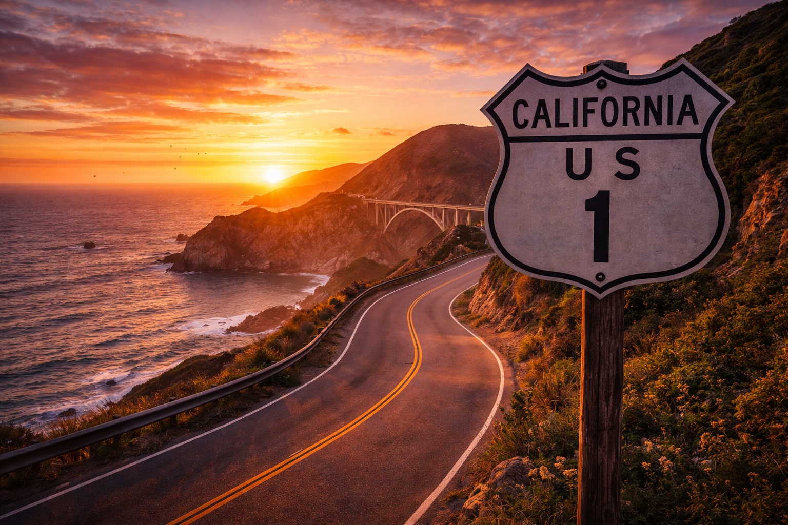
DRIVE · ROUTE
Last updated 2026-06-15
Pacific Coast Highway Stops Guide
A selective stop strategy for Monterey, Carmel, Morro Bay, San Luis Obispo, Santa Barbara and Malibu.
Read guide →
CITY · ITIN
Editor's Pick
Last updated 2026-06-15
San Francisco 2-Day Road Trip Start
A calm two-day San Francisco start before the rental car, Highway 1 and the bigger California route.
Read guide →